Last verified 09/26
The Resolute Beach Loop Walk is one of the most beautiful bushwalks in Ku-ring-gai Chase National Park. Along the way, you’ll visit a quiet beach, enjoy great views over Pittwater, see Aboriginal rock engravings, and wander peaceful bushland trails on the West Head peninsula.
You’ll pass Resolute Beach, Great Mackerel Beach, and West Head Beach before ending at West Head Lookout, which is one of Sydney’s top viewpoints.
The walk has some hills and stairs, so it’s a bit challenging, but the views and beaches along the way are well worth it.
Quick Facts — Resolute Beach Loop Walk
- Location: West Head, Ku-ring-gai Chase National Park (Sydney)
- Distance: about 6 km (or 4.4 km without the Great Mackerel Beach detour)
- Time: about 3–3.5 hours
- Grade: hard
- Start point: Resolute Picnic Area or West Head Lookout
- Dogs: not allowed
- Facilities: toilets and BBQs at Resolute Picnic Area
- National park fee: entry fee applies at West Head
Where Is Resolute Beach?
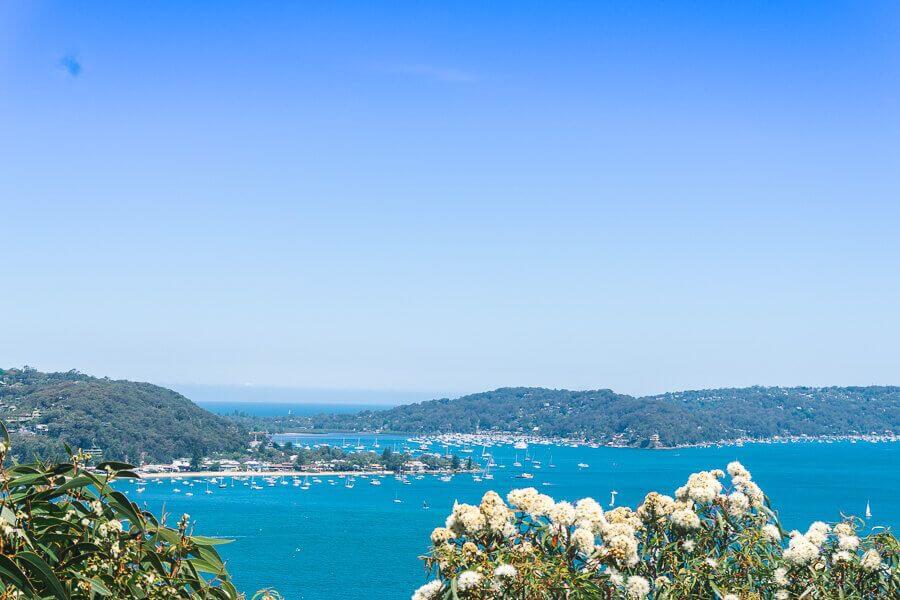
Resolute Beach is on the West Head peninsula in Ku-ring-gai Chase National Park and looks out over Pittwater.
You can only get to the beach by walking or by boat, which means it stays quiet and not too crowded.
The beach is part of the Resolute Beach Loop Walk, which also links to West Head Lookout and Great Mackerel Beach.
How to Get There
By Car
You can begin the walk from either:
- Resolute Picnic Area
- West Head Lookout
It’s easiest to start at Resolute Picnic Area if you want to do the full loop.
To get there, drive about 12 km along West Head Road inside Ku-ring-gai Chase National Park. The road is sealed and fine for a regular car.
There’s a car park and walking signs at the picnic area.
Park opening hours
- 6 am – 6 pm (winter)
- 6 am – 8:30 pm (daylight saving)
Entry fee is about $12 per car.
By Ferry
You can also get onto the track from Great Mackerel Beach.
A ferry runs several times a day between Palm Beach and Great Mackerel Beach. From the northern end of the beach you can join the walking track toward Resolute Beach.
By Bicycle
West Head Road is popular with cyclists. The climb is tough but the views over Pittwater are fantastic.
Facilities
Facilities are limited along the walk.
At the Resolute Picnic Area you will find:
- toilets
- BBQs
- picnic tables
There are no shops or drinking water on the track, so make sure to bring your own food and water.
If you want a coffee before your walk, stop at Berkelo Terrey Hills on Mona Vale Road before you enter the national park.
Resolute Beach Loop Walk Guide
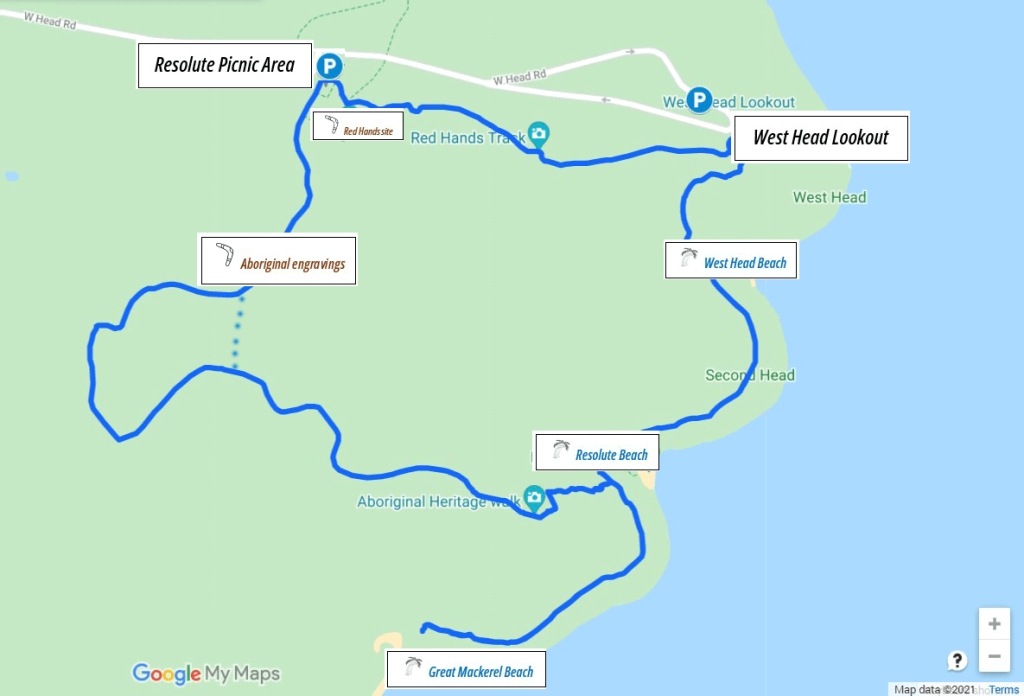
This guide describes the walk going anticlockwise from Resolute Picnic Area.
You can do the loop in either direction, but going anticlockwise means you get the less scenic part done first.
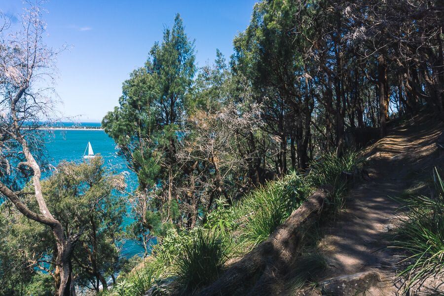
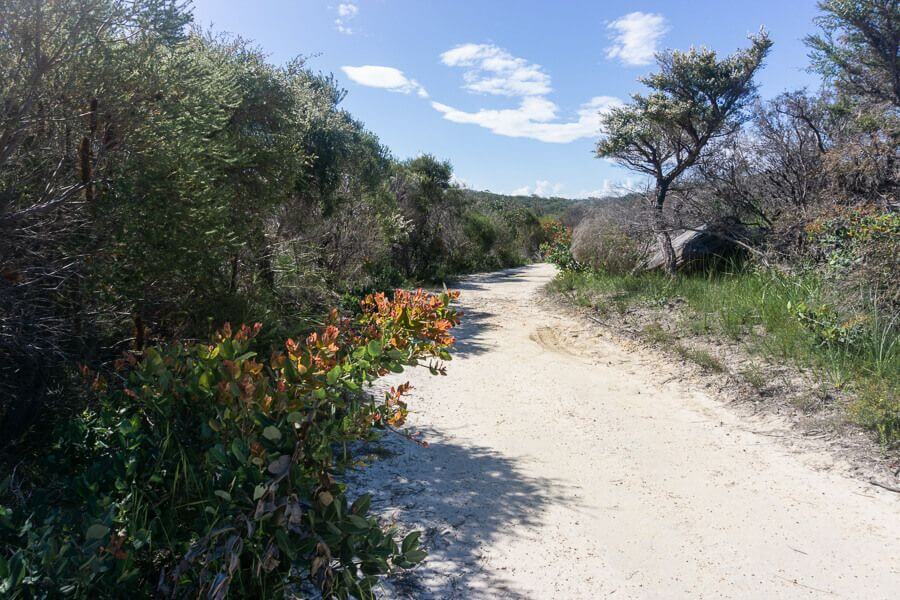
The track has hills, stairs, and some uneven spots, but it’s well maintained and clearly signposted.
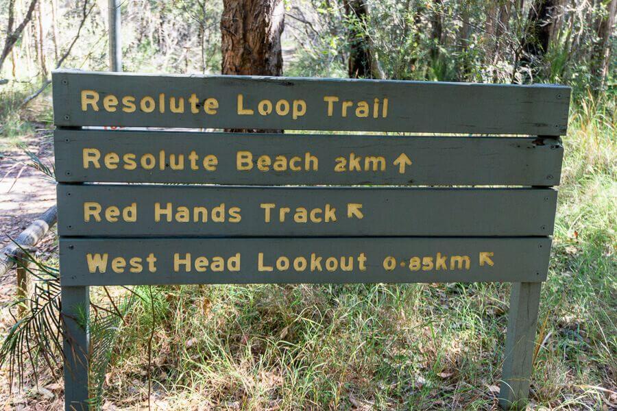
Section 1 — Resolute Picnic Area to Resolute Beach
Distance: about 2 km
From the Resolute Picnic Area, follow the signs to Resolute Beach.
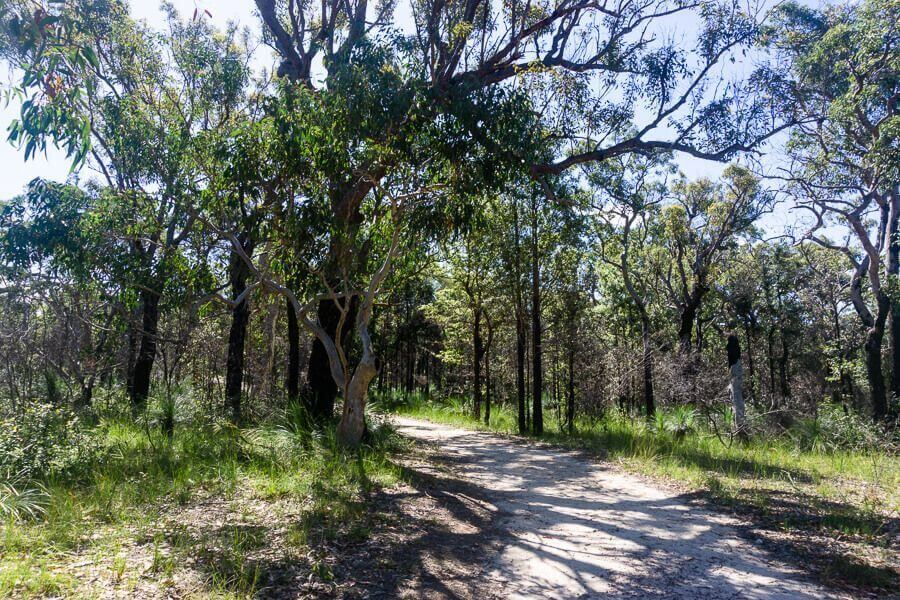
The first part of the walk goes through bushland with Sydney red gums. After about 650 metres, you’ll come to a sandstone rock platform with Aboriginal engravings.
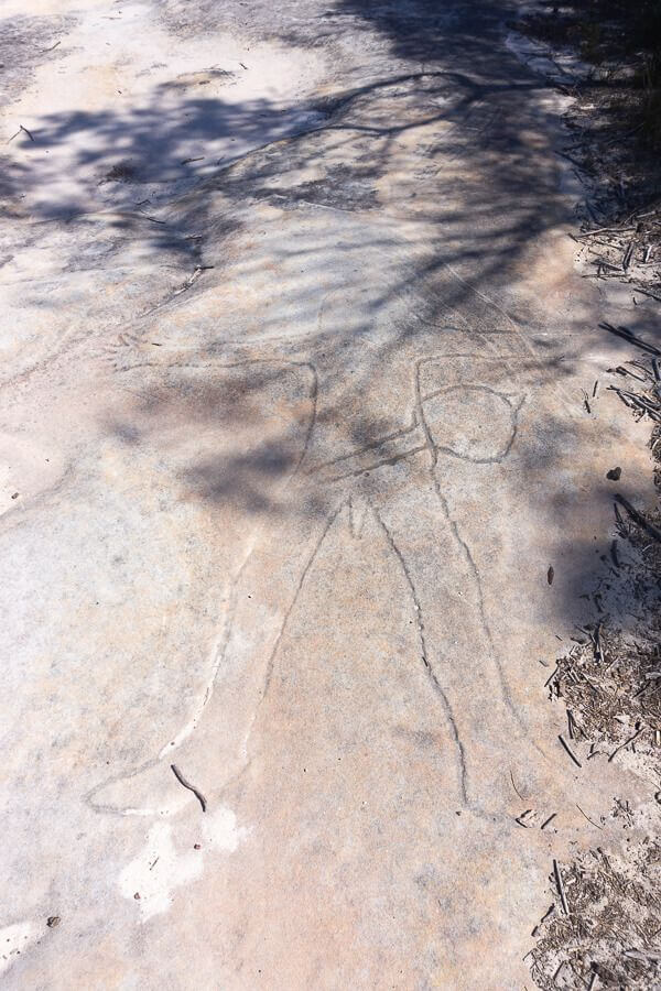
It’s hard to know exactly how old the engravings are, but they might be about 2,000 years old. The figures show a person, an eel, and a fish.
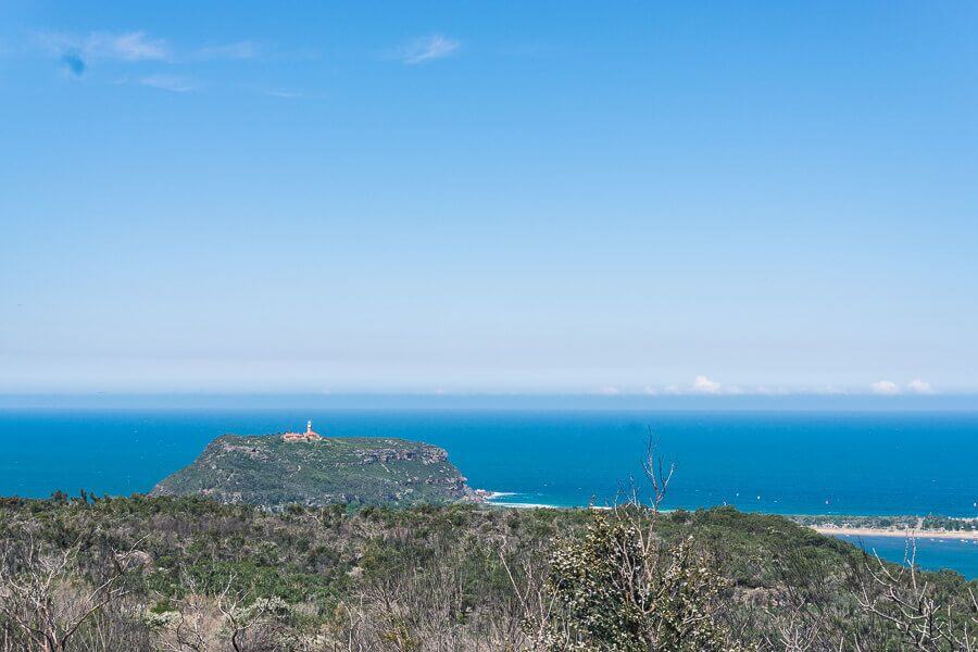
From the rock shelf, you’ll also see views across Pittwater toward Barrenjoey Lighthouse.
Tip:
If you want a shorter walk, take the shortcut at the far right of the rock platform. It joins back with the main track and saves about 20 minutes.
Keep following the main track for another 900 metres, then follow the sign to Resolute Beach and head down the stairs.
Just before you reach the beach, you’ll pass an Aboriginal occupation site and a rock overhang.
Section 2 — Great Mackerel Beach Side Track
From the track junction near Resolute Beach, a 700-metre side path takes you to Great Mackerel Beach.
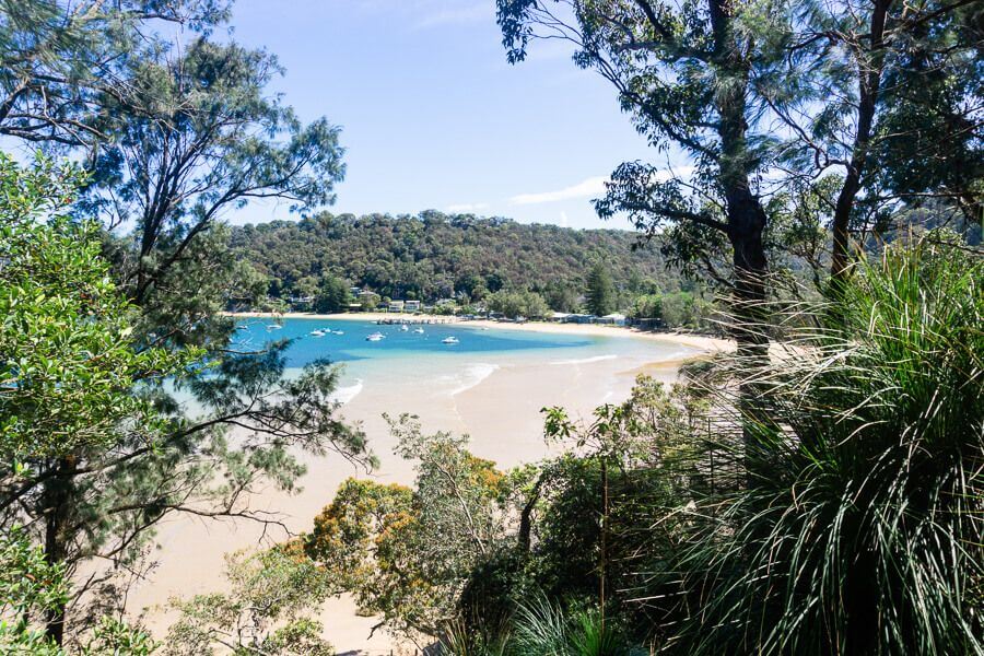
This small waterfront suburb can only be reached by boat or by walking.
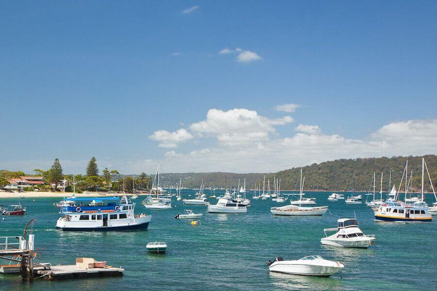
The beach is about 600 metres long and is backed by houses and bushland from Ku-ring-gai Chase National Park. Boats often anchor in the calm waters of Pittwater.
You can explore the beach, then head back along the same track to Resolute Beach.
Resolute Beach
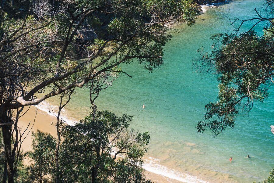
Resolute Beach is a small, quiet spot tucked into the bushland of Ku-ring-gai Chase National Park.
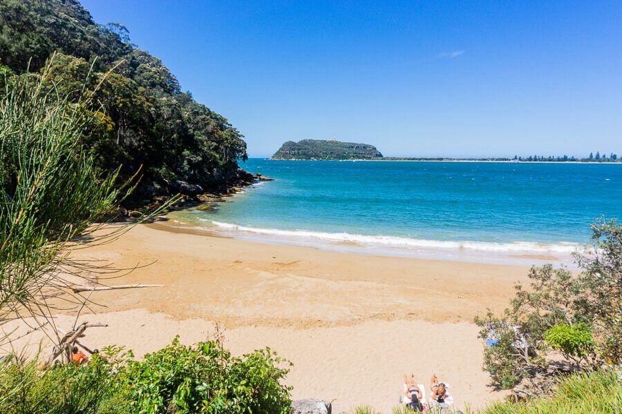
The water is usually calm and clear, and you’ll enjoy beautiful views across Pittwater toward Palm Beach.
Because there are no facilities, it is best to bring everything you need.
You can stop here for a swim or relax on the sand before continuing your walk.
Section 3 — Resolute Beach to West Head Lookout
Distance: about 1 km
From Resolute Beach, follow the track to West Head Lookout.
After about 500 metres, you’ll come to steps leading down to West Head Beach. Like Resolute Beach, the water here is calm and good for swimming.
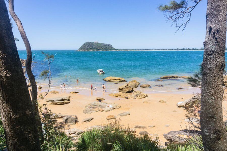
Many people get here by boat across Pittwater.
After you leave the beach, the track climbs uphill for about 400 metres toward West Head.
The climb is steep in places, but the views become increasingly impressive as you approach the lookout.
West Head Lookout
West Head Lookout is one of the most spectacular viewpoints in the Sydney region.
From the lookout you can see:
- Broken Bay
- Pittwater
- Barrenjoey Headland and Lighthouse
- Lion Island
- the Central Coast across the water
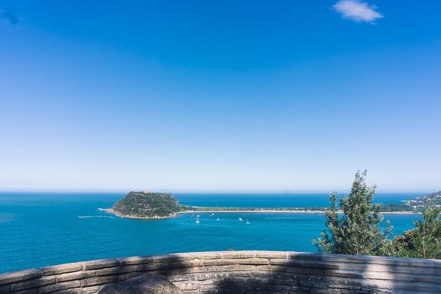
On clear days, you’ll often spot sailing boats scattered across the bay.
West Head was also used during World War II as part of Sydney’s coastal defence system.
If you still have energy, check out the West Head Army Track, which leads to historic military batteries.
Section 4 — West Head Lookout to Resolute Picnic Area
Distance: about 850 metres
The last part of the walk takes you back through a forest of Sydney red gums.
Along the way, you’ll pass the Red Hands Aboriginal Rock Art Site, where you can see red ochre handprints on the rock walls.
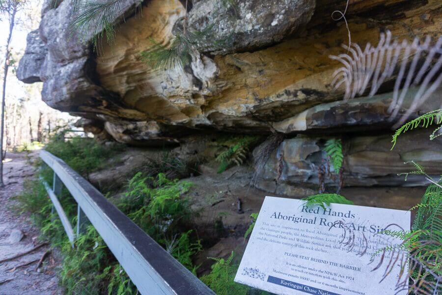
From there, follow the track back to the intersection and turn right to get back to Resolute Picnic Area.
Nearby Walks to Explore
If you liked this walk, you might also enjoy:
- West Head Army Track
- Flint and Steel Loop Walk
Both walks start in the same part of Ku-ring-gai Chase National Park and offer more coastal views and bushland tracks.
Find More Things to Do and Walks Around the Central Coast
More Photos